Surveying
Our surveyors understand that each project has unique requirements.
Whether you're seeking a one-time survey to assess a parcel of land or looking for ongoing support throughout your project's lifecycle, we are dedicated to working closely with your team. We take the time to understand your objectives and challenges, ensuring that we provide accurate measurements and valuable insights that can help drive your project forward successfully.
With PEC+, you can rely on our expertise to navigate the complexities of your project and ensure that all data collected is trustworthy and actionable.
Precision and accuracy form the cornerstone of every successful project, especially in fields such as land development and environmental or infrastructure upgrades.
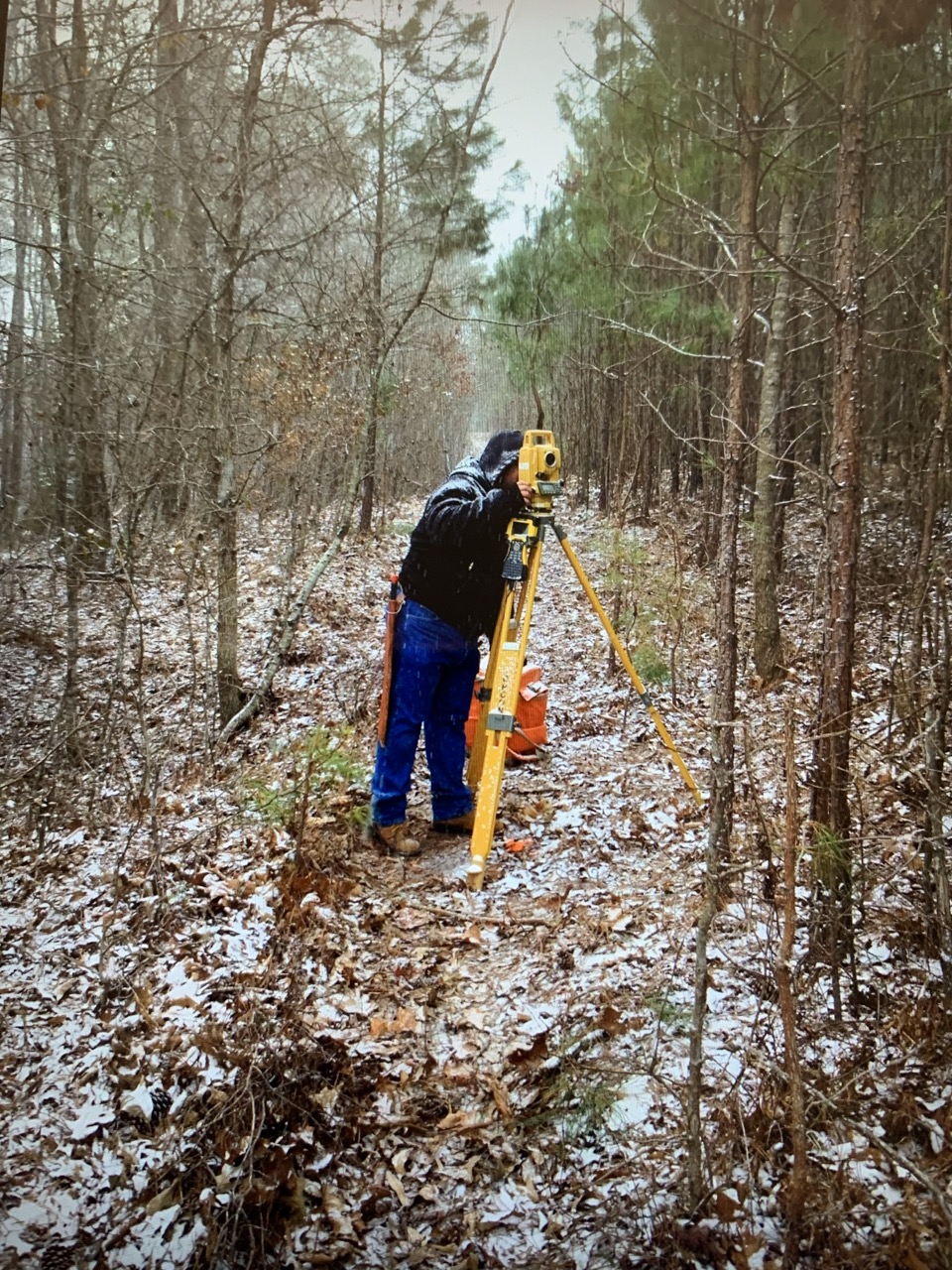
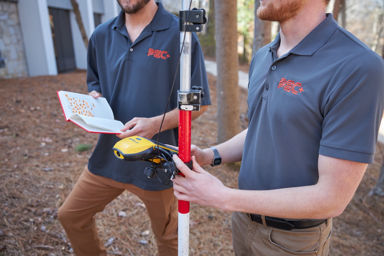
At PEC+, we pride ourselves on our team of experienced surveyors who are committed to delivering reliable, high-quality data tailored to your specific needs. This enables you to make informed and strategic decisions with confidence. Our Surveying Department proudly offers a wide array of surveying services in metro Atlanta and the surrounding areas.

ALTA/ACSM Land Title Surveys
GPS (Global Positioning System) Surveying
Boundary surveys
Topographic Surveys
Title Research / Title Review
Tree Surveys
As-built Surveys
Accident Site Surveys
Stream / Wetland surveys
Preliminary Subdivision Plat
Final Subdivision Plats
Exemption Plat
Easement Plat
Legal Descriptions
Construction Layout / Staking
Spot Elevations
Utility Location (above and below ground)
Site Distance Surveys
Right-of-Way Survey and Staking
Cemetery Plot Layout
FEMA Elevation Certificate
Bathymetric Surveying