
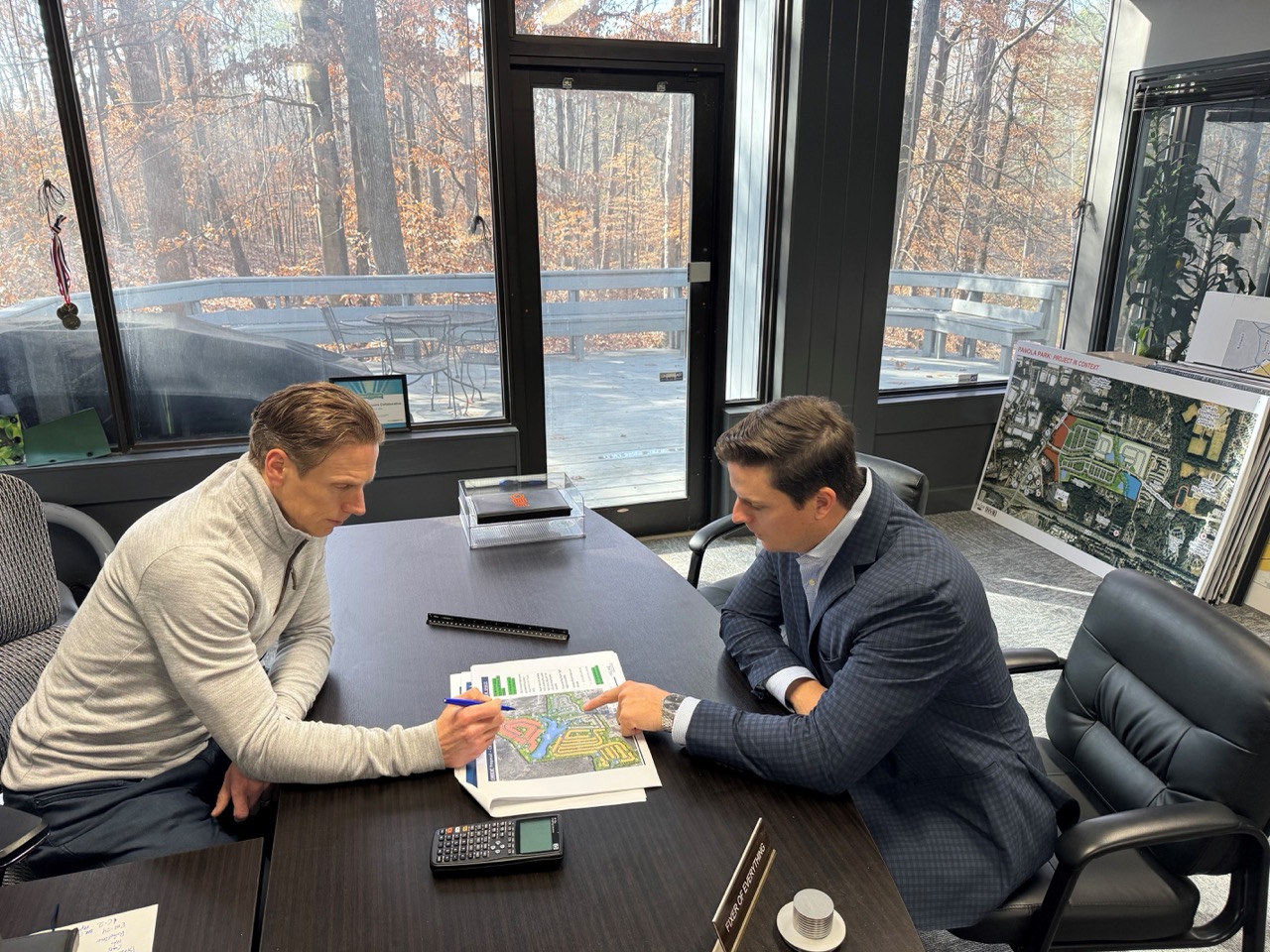
PEC+ strongly believes identifying potential challenges early is the foundation for a successful project and helps our clients avoid costly setbacks and delays. Our dedicated PEC+ Solutions Teams take a forward-thinking approach to every project, ensuring that issues are addressed before they become problems during construction. With a proactive focus on efficiency, quality, and cost-effectiveness, we are committed to delivering solutions that save time, resources, and stress while keeping your project goals in mind.
The entitlement process is critical in transforming land development concepts into reality.
PEC+ is here to guide you through the complex process of obtaining the necessary approvals for your project. We work directly with local, state, and other authorities to ensure that your project meets all legal requirements, helping you avoid costly delays. Additionally, PEC+ Solutions Teams have experience in engaging with local neighborhoods and communities through various platforms, including public hearings, city council meetings, and online forums.
Our Due Diligence Services are essential to the PEC+ process across all services. A thorough due diligence allows us to validate project specifications, analyze risks, and identify issues early on.
By digging deeper upfront, our goal is to provide a comprehensive understanding of your project site, helping you identify opportunities, mitigate risks, and ensure informed decision-making, ultimately avoiding costly surprises down the road.
PEC+’s proactive Due Diligence will provide the insights you need to confidently move forward and set your project up for long-term success.
Comprehensive Site Analysis & Project Feasibility
Schematic Pricing Sets and Concept Grading / Utility Plans
Site Visits and Existing Conditions Analysis
Environmental + Impact Assessments
Geotechnical Investigation
Public Hearing + Stakeholder Representation
Permitting + Regulatory Research
Permit Coordination + Acquisition
Development Agreements
Master Planning Support
Land Use Entitlement Strategy
Easement + Right-of-Way Coordination

Know your issues up front and find solutions quickly; site visit and reporting; feasibility; zoning and code compliance; identify and mitigate potential risk; gather and review data; contact and set up the appropriate meetings; utility confirmation and solutions; sub-grade investigations and modeling; and understand various environment constraints, permitting and scheduling issues.
Learn MoreFully understand a site's unique geography, ecology, drainage, existing vegetation, intended uses, and long-term sustainability requirements early so that all designs maximize natural assets and align with project goals.
Learn MoreAssess zoning designations, ordinances, master plan alignment, community right-to-know laws, easements, topography, vegetative cover, watershed, and habitat protection policies as well as economic, cultural, and human impacts early on so sustainable site development maximizes community benefits while minimizing negative consequences.
Learn MoreValidate that a proposed development complies with local regulations and aligns with land-use policies, avoiding costly delays and legal challenges. By thoroughly researching zoning codes, permitted uses, and potential restrictions, due diligence helps identify any conflicts or requirements early in the planning process, ensuring a smoother path to project approval.
Learn MoreAccurately project supply and demand needs; investigate existing infrastructure conditions and capacities, permitting requirements, water rights constraints, water quality regulations, floodplain impacts, and drainage patterns early in the planning process.
Learn MoreEnsure the safety, functionality, and cost-effectiveness of transportation projects. Potential issues can be identified and addressed proactively by thoroughly evaluating site conditions, traffic patterns, environmental factors, and regulatory requirements early in the process. This minimizes the risk of design flaws, construction delays, and budget overruns. Additionally, due diligence ensures compliance with local, state, and federal standards, optimizing the roadway for long-term performance while meeting the needs of stakeholders and the community.
Learn MoreAccurately assess future sewer demand rates and pipe flow conditions; investigate available sewer capacity within sewer mains and local pump stations; evaluate capacity and condition; permitting; review power supply requirements and reliability factors; flood risk; maintenance access; corrosion resistance; and establish station longevity early on to ensure appropriately sized, long-term, cost-effective pumping system designs.
Learn MoreResearch applicable regulations across multiple jurisdictions, site constraints, environmental impacts, legal non-conformities, and expiration dates.
Learn MoreResearch records and permits, conduct site reconnaissance, verify access permissions, identify above and below-ground constraints, and select proper tools early to develop accurate topographic depictions, boundary delineations, volumetric quantities, and staking data tailored to client usage requirements.
Learn MoreFully understand applicable regulations, baseline conditions, and habitat and species impacts; navigate Federal, State and Local environmental regulations and rules. Calculate upfront mitigation costs and develop strategies to reduce impacts and regulatory fees.
Learn MoreInventory existing vegetation, research species characteristics, evaluate tree health, soil, and drainage patterns, assess potential root damage, plan access routes, and select optimal planting sites early on to preserve valuable treescapes, maximize plant establishment success, and enhance sustainable ecosystem services over the long term.
Learn MoreVerify required permissions and no-fly zones; determine optimal imagery resolutions and flight planning parameters; and ensure efficient, lawful data capture that achieves project goals without disrupting surrounding communities.
Learn MoreResearch available public and private records, plan test hole probing, coordinate with affected services, and identify access constraints and marking standards early on to accurately map underground infrastructure locations to prevent service disruptions during construction.
Learn More