Aerial services
Nothing beats an aerial perspective when it comes to getting a comprehensive overview of infrastructure projects.
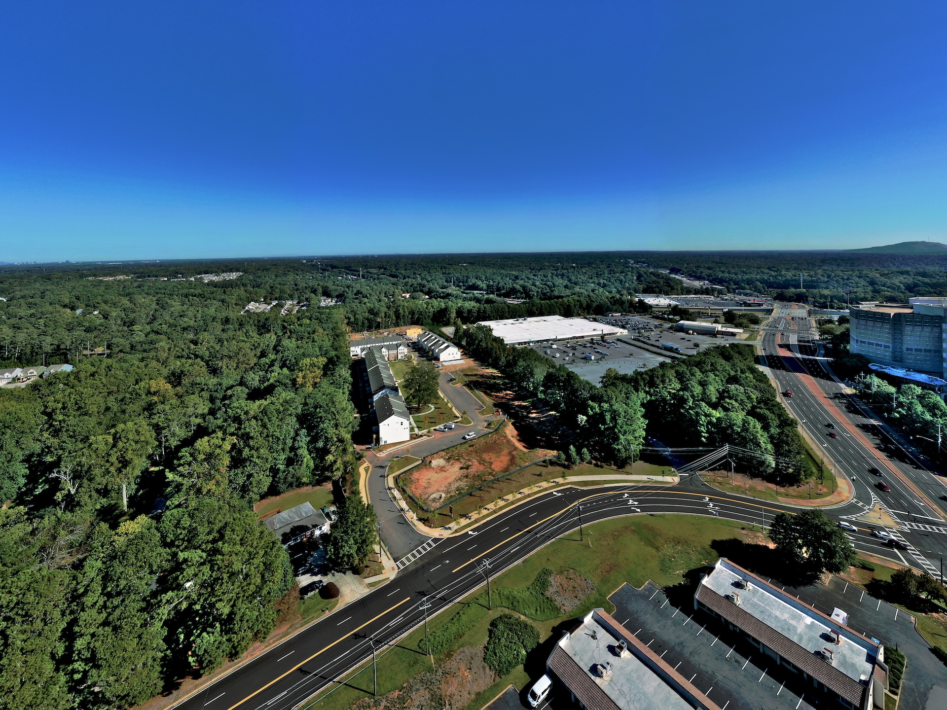
PEC+ offers full-service drone mapping and data analysis for unparalleled site reconnaissance and project planning advantages. Our Unmanned Aerial Systems (UAS) offer a faster, safer, and more cost-effective approach to gathering precise spatial data for a variety of projects.
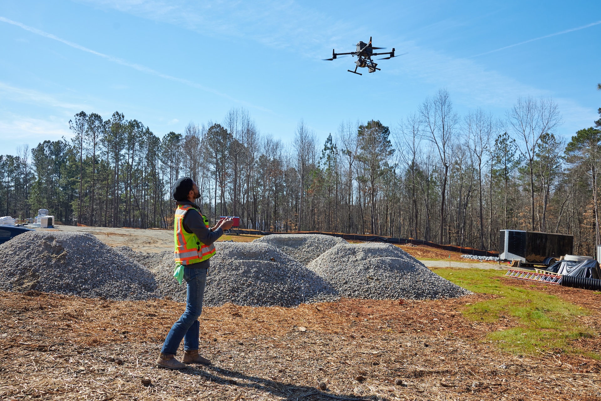
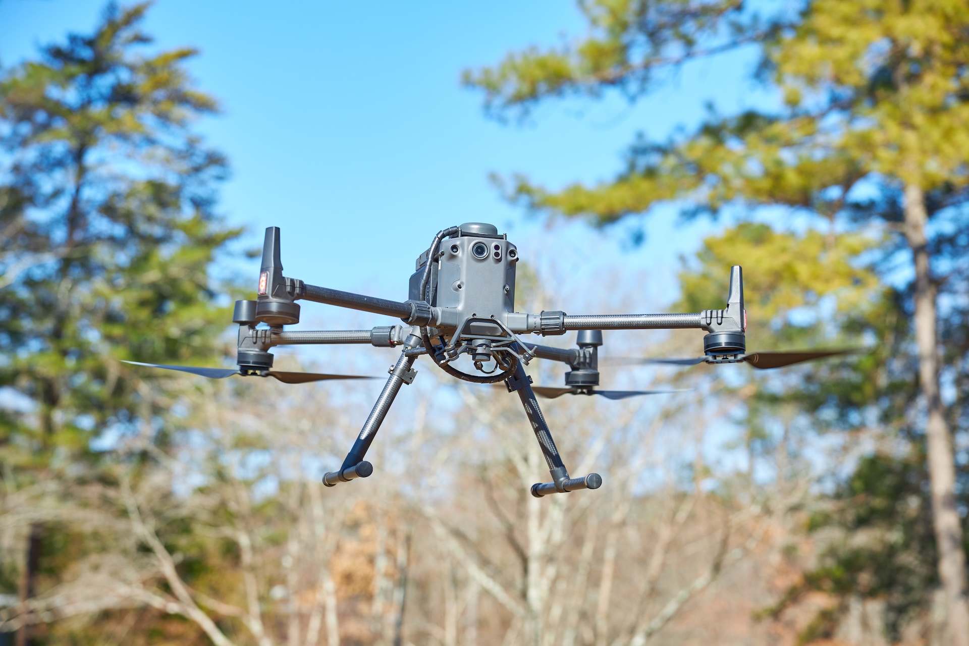
Our FAA-certified pilots and sensors specialists use cutting-edge UAV LiDAR technologies paired with sophisticated imaging sensors to capture highly precise orthomosaic images, 3D digital surface models, and data-rich point clouds.
We process and integrate all imagery into customizable GIS mapping deliverables, including detailed topographic surveys, volumetric calculations, high-resolution visuals of landscape features, contour models, vegetation analyses, and more. The project insights derived from PEC+'s Aerial Services enable smarter design, construction, and operation decisions.

High-resolution Orthomosaic Aerial Imagery
3D Digital Surface Model Generation
Precise Topographic Contours Mapping
Vegetation Density + Classification
Volumetric Stockpile Measurement
Ground Control GPS Survey Points
Point Cloud Visualization and Analytics
Project Progress and Final Walkthroughs
Customized Feature Recognition and Classification
Easy-to-interpret 2D Maps and 3D Deliverables
_LIDAR%20Large.jpeg)
LiDAR stands for light detection and ranging. This technology sends out hundreds of thousands of pulses per second to map topological differences relative to each other, contributing to a very high degree of relative accuracy.
With PEC+’s LiDAR drone, we can perform the following tasks with survey-grade precision:
Survey and monitor ground elevation changes and the impact on field assets such as substations, towers and wind turbine;
Build bare earth topographic models of flood-prone areas to increase the accuracy of risk assessments and improve emergency planning; and
Create 3D models that measure density, volume, and elevation.