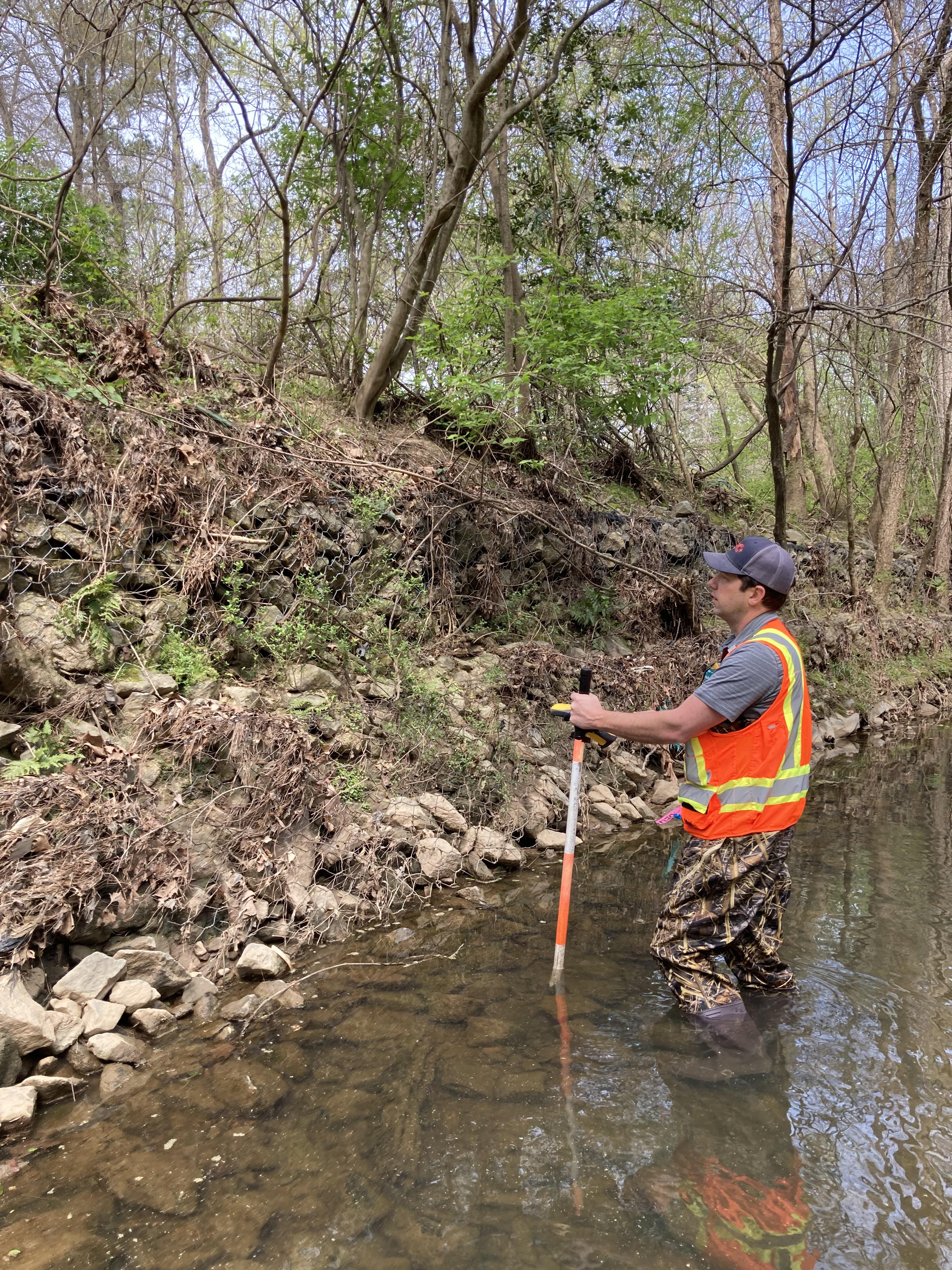
PEC+ LiDar Services
PEC+ offers two very in-depth surveying programs, both completed by registered surveyors who can certify their work. Learn the differences between the two processes and which one would be best for your project.
For mapping and surveying, companies traditionally have two options: aerial photogrammetry or LiDar. PEC+ offers both services, so we often get questions regarding which option is best. Here, we’ll break down both services and the advantages and disadvantages of each.
Aerial Photogrammetry
Aerial photogrammetry measures distance through images taken, in turn creating very detailed maps. Augustus Porter, PEC+’s drone pilot, flies the drone with the camera attached and pointed toward the earth. The camera captures detailed, overlapping images of the area below. The initial result is what is called relief displacement: the image has one central focal point, and all surrounding images (buildings, trees, etc.) appear to be leaning toward that center point.In order to create an accurate topographic map, data processor and CAD technician Jonathan Nicoara must layer images taken from multiple viewpoints to create parallax. Parallax allows us to measure relief displacement, then producing a hi-res 3D map.

LiDar
LiDar, or light detection and ranging, is when a drone flies over an area while a sensor sends out laser pulses and measures the time it takes for the pulses to return. This is an extremely precise way to measure, as the pulses go out at a rate of 100,000 – 3 million pulses per second. The satellite positioning system then determines the location of the sensors, combined with the intensity and time of the pulses’ returns. Nicoara uses this information to then create a highly detailed map.
Which Process Do You Choose?
Both processes have their advantages. Aerial photogrammetry has real-world colors and textures and is more cost-efficient than LiDar. However, the results is not as detailed as LiDar. LiDar is more expensive, but the results are more accurate, as the laser can penetrate vegetation and get accurate measurements of the ground. In addition, the process can quickly cover thousands of acres. However, LiDar cannot penetrate water.
In general, for smaller projects we recommend aerial photogrammetry, and for larger, more in-depth projects, LiDar is the way to go. No matter which process you choose, you can rest assured that PEC+ will deliver the most accurate results, as we are registered surveyors who can certify all of our work. Unlike many surveying companies, we have field procedures in place that allow us to meet the technical standards for all topographic work.
Learn more about our surveying services.